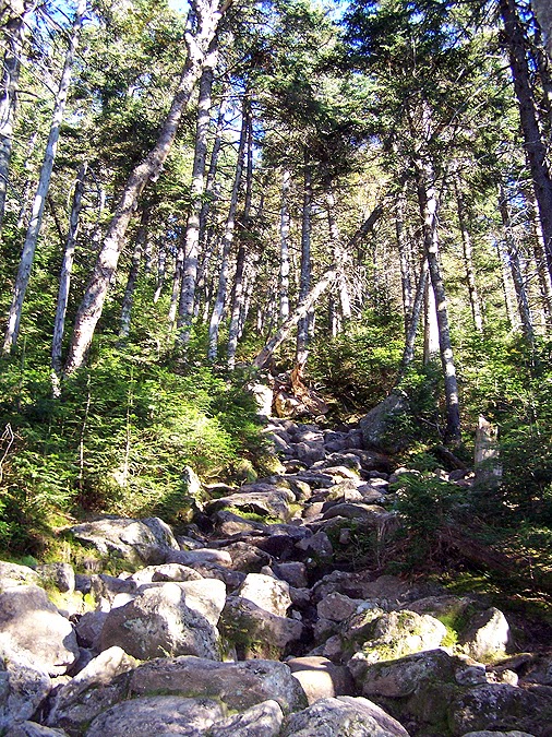
Nice little rock hop section on the lower end of the Ammonoosuc Ravine trail
A new short re-route near a washout
Ammonoosuc River
Gem Pool
Above the Gem Pool the Ammo Trail gets steep
A short little ladder to help the vertically challenged ;)
Looking down a slab section of the trail
Small cascades along the trail
'Algae' Cascade
Upper ends of the Ammonoosuc River
Stairway to the Alpine Zone
A helpful sign to keep you headed the right way
Gaining the ridge, Lakes of the Clouds Hut
The last train of the day passes by Jacob's Ladder
Lakes of the Clouds and Mount Washington
Lakes of the Clouds Hut
Lil' Monroe and the Southern Presidential Range
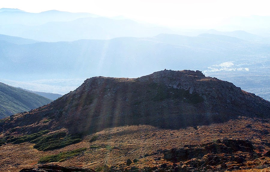
Lil' Monroe
View from the summit of Mount Monroe
Mount Clay and Jefferson, if you look really closely you can see Mount Adams, looks like a shadow to the right of Clay!
Mount Washington Hotel and Golf Course
Summit cone of Mount Washington
Late day sun shining bright over the western shoulder of Mount Monroe
Lakes of the Clouds Hut
The hut and the Ammonoosuc Ravine Trail junction
Crawford Path heading north
Mount Monroe and Lakes of the Clouds Hut
The Crawford Path has had exception trail work since it's heavily used
Golden grass fields of Mount Washington
Mount Monroe
Lakes of the Clouds
One of the best views in the Whites, a little more than 24 hours later there were 50 mph winds, low visibility, and driving rain!
Twin Range, Franconia Ridge, and the 'Moose' to the south
Sun slowly falling to the west
A grassy knoll about a half mile from the summit
Southern Presidential Range
The final 0.3 miles to the summit
Sunset at 6:43 p.m.
Twin Range and Franconia Ridge in a purple Haze
Southern Presidential Range during twilight
Newly painted rocks near the top!
Sunset over the Green mountains
Summit Cone
All alone on Mount Washington's summit
Mount Jefferson, Adams, and Madison
Observation deck at sunset
Mount Madison and Madison Springs Hut
Mount Jefferson
A plane flying southwest as the sun dissapears
Sunset from the observatory
Cog Tracks
Mount Washington OBS - 'Castle in the Clouds'
Mount Masfield
Getting darker
The Gulfside Trail
Beautiful mix of colors while skirting around Mount Clay's summit cone on the Gulfside Trail
Gulfside / Jewell Trail junction
Jewell Trail
Ammonoosuc Brook
Cog Station at Base Road
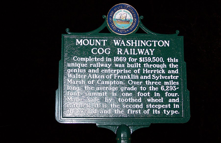
Historical marker at the Cog Station on Base Road


No comments:
Post a Comment