

The setting moon, early morning along the rim Trail

The sun slowly falling below the south rim

Breakfast for this little guy along the Rim Trail

Looking down from the South Rim

Looking across to the North Rim

The South Kaibab Trail descends this rim wall and out to Cedar ridge

South Kaibab Trailhead

Mules have the right of way!

View from the upper walls of South Kaibab

Switchbacks!

This is where the views start to really open up

Trail turns to clay

Great views while descending along the rim walls

O'Neill Butte

Hiking along Cedar Ridge

South Kaibab Trail

At Cedar Point there is a bathroom

Huge views while dropping down from Cedar Point

O'Neill Butte

Looking back up to Cedar Ridge and up to Yaki Point

Red scarred walls and a red clay trail

The Grand Canyon, looking northwest

Looking back to where I just dropped down from

A nice flat section out in the open...

Before dropping down dozens of swithcbacks

The Colorado River makes it's first appearance!

Holes carved out by weather over millions of years

Looking over to Horseshoe Messa

Half way down!

More walls below the South Rim

Making my way down to Tonto Point

Zoroaster Temple makes it's first apparent

Tonto Point Plateau

Snake!

South Kaibab Trail, looking back up

A nice flat section along Tonto Plateau

A spot for hikers to take a break

Cedar Ridge

Emergency phone

Starting the drop down into the inner gorge

South Kaibab Trail

Looking back up

Skeleton Point

Long way down to the Colorado River

Every step there is a great view of the canyon!

Mule Train!

It's the cavalry!

The Black Bridge makes its first appearance

The Black Bridge

Looking down at Bright Angel Campground and the Silver Suspension Bridge

Siler Bridge

Entering the Black Bridge

Pretty cool stuff right here!

Black Bridge

The Colorado River, looking east

The Colorado River, looking west

Colorado River

More mules!

A little history lesson

Black Bridge, notice the mules going across!

Bridge info

A couple of deers cooling off their feet

Mule pen at Phantom Ranch
North Kaibab Trail

Phantom Ranch

Ranch info

Phantom Ranch

Heading back to the South Rim

Bright Angel Creek info

Bright Angel Creek

Bright Angel Campground

Silver Bridge info

Silver Bridge

High rising cliffs along the Colorado River

Colorado River, looking west

Silver Bridge

Colorado River, looking east

The Bottom of the Grand Canyon

Silver Bridge

Sandy portion of the Bright Angel Trail

The Colorado River snakes through the bottom of the ravine

Me on the Bright Angel Trail

The Bright Angel Trail is mostly level as it heads around the lower canyon cliff walls

Emergency phone area

Heading back up into the canyon

An old mine cave

The Bright Angel Trail travels up what it called the Devi's Corkscrew

Everywhere you hike there are natural amphitheaters

Breaking out into the open for a little bit

Heading into the Tapeats Narrows

Hikers making there way to Indian Gardens

Amazingly, in this heat how healthy this tree looks!

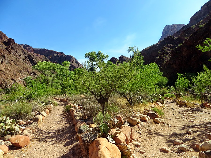
It rminds me of the weather warning signs in the Presidential Range

Indian Gardens info

It was hot but not too hot!

Heading out to Plateau Point

Tonto West!

The Colorado River from Plateau Point

At Plateau Point

South Rim

Great views all around

Colorado River

I think this is what is called the 'Battleship'

Zoroaster Temple

Cacti line the trail near Indian Gardens

Heading to the South Rim in the afternoon sun

Water Pipe

Looking back down to Indian Gardens

This wall was covered in lime

Water station

Heading up Jacob's Ladder

Plateau Point and Indian Gardens

Plateau Point

Zoom in of Plateau Point

Bright Angel Trail arrow, just in case the trail isn't obvious!

Top of the South Rim

Route for the day, click here for more details
No comments:
Post a Comment