Starr King Trail
Roughest stretch (maybe ten feet!) on the Starr King Trail
Old Cabin's Fireplace on Mount Starr King
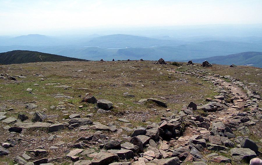
Starr King Trail in the col between Starr King and Mount Waumbek

Mount Waumbek Summit
Starr King Trail
Lower portion of the Starr King Trail
Stone Foundation of a springhouse

Starr King Trailhead
Sawyer River Road Parking Lot off Route 302
Signal Ridge Trailhead
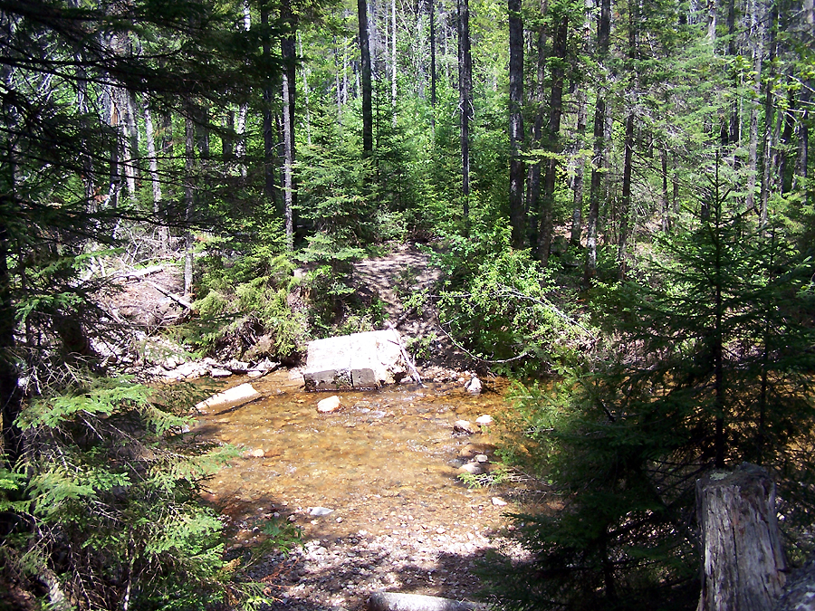
Whiteface Brook
Carrigain Brook
Signal Ridge Trail through some Birch Trees
Signal Ridge Trail
The Vose Spur
Signal Ridge to Mount Carrigain's Summit
The Vose Spur
Hazy Morning in the White Mountains
Looking down at a makeshift campsite from the Observation Tower
Mount Carrigain Summit Marker
Pemigewasset Wilderness Boundary / Desolation Trail Junction
Mount Carrigain Observation Tower
Mount Lowell
Slides of Mount Lowell
Beaver Pond on the Signal Ridge Trail
Carrigain Brook
Rotted 'Log Threads' Signal Ridge Trail
Whiteface Brook
Sawyer River Road
Very sturdy bridge on the Beaver Brook Trail
Beaver Brook Cascades
Beaver Brook Cascades
Beaver Brook Cascades
Beaver Brook Cascades
Hiking up the Beaver Brook Trail
Beaver Brook Trail
Beaver Brook Lean-to Junction
Kinsman and Franconia Ridge from Mount Moosilauke
Hiking up to the summit of Mount Moosilauke
Long Pond (I think)
Looking back down the Beaver Brook Trail
Cairns above treeline on Mount Moosilauke
Mount Moosilauke's Alpine Zone
Approaching the summit
Moosilauke Carriage Road
Mount Moosilauke Summit
Memorial on Mount Moosilauke
Gorge Brook Trail
Mount Moosilauke's Summit
Beaver Brook Trail
Old Stone Foundation
Majestic Cairns along the Beaver Brook Trail
DOC Alpine Zone Sign
Beaver Brook Trail
Beaver Brook Cascades
Descending the Beaver Brook Trail
A backpacker heading up the Beaver Brook Trail
Well Placed Log Steps on the Beaver Brook Trail
Alton running up Sawyer River Road
Kat Crossing Whiteface Brook
Alton and Kat crossing Carrigain Brook
The Vose Spur and Mount Lowell
Vose Spur
Mount Lowell
Presidential Range
Mount Carrigain
Pemigewasset Wilderness
Bondcliff
Twin Range
Looking towards the Osceola's
Osceola's
Signal Ridge
White Mountains
Presidential Range
Owl's Head and the Franconia Ridge
Zealand Notch
Signal Ridge
Bondcliff

Mount Carrigain Summit
Desolation Trail
Site of the old Desolation Shelter
Carrigain Notch Trail
Alton and Kat looking for a place to take a dip
Freezing Fun in the Carrigain Branch
Stillwater Junction (that cement foundation was upright before Hurricane Irene)
Crossing the East Branch
Crossing the East Branch
Shoal Pond Trail
Shoal Pond Trail
Crossing the Shoal Pond Brook
Old camp clearing
Shoal Pond Brook Swimming Hole
Makeshift campsite
Shoal Pond Trail
Shoal Pond Trail
Another water crossing on the Shoal Pond Trail
Wet and muddy Shoal Pond Trail
Old bog bridges on the Shoal Pond Trail
Pemigewasset Wilderness Boundary
North Fork Brook
North Fork
Ethan Pond
Ethan Pond Trail
Crawford Scenic Railroad


No comments:
Post a Comment