

Appalachia Trailhead

Weather Warning sign on the Valley Way Trail

Tony and Kyle charging up Mount Madison

Kyle on the summit of Mount Madison

JQ Adams from the Star Lake

Star Lake

Wildcat Ridge

Carter and Wildcat Ridge

JQ Adams and Star Lake

Star Lake Trail

Tony on Mount Adams

Kyle on Mount Adams

Jefferson Loop Trail Junction

Kyle on Mount Jefferson

Heading down the Jefferson Loop Trail

Monticello Lawn

Kyle, trail running
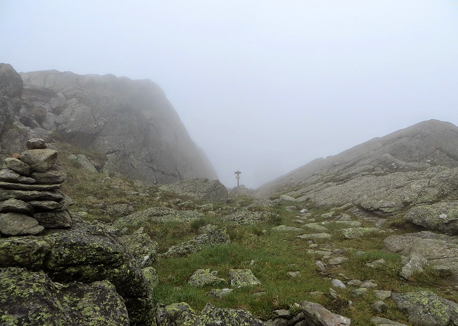
Sphinx Col

Mount Clay Summit

Hiking along the Gulfside Trail

Walking next to the Cog Railroad

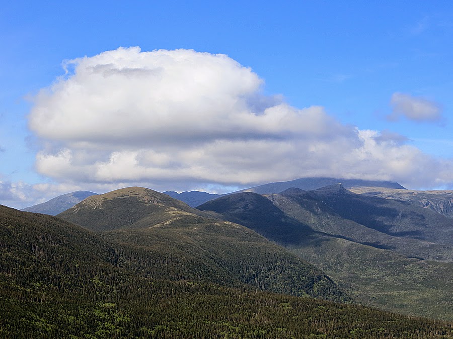
The clouds trying to clear off the Northern Presidential Range

Cog Trail

The Cog

Mount Washignton

Lakes of the Clouds

Mount Monroe Loop Trail

Mount Monroe Summit

Mount Franklin

Running down the Crawford Path

This sign is always like this!

Mount Eisenhower Summit

View from Mount Eisenhower

Running down the Eisenhower Loop Trail

Crawford Path

Kyle heading down to the Crawford Path

Awful conditions today!

A.T. Junction

Presidential Range

Mount Pierce

Mount Jackson Alpine Meadow

Mount Jackson

Mount Jackson
View from Mount Jackson

Kyle heading down the Webster-Cliff Trail

Mount Webster

Mount Monroe and Franklin

Silver Cascade

Route for the day, click here for more details
No comments:
Post a Comment