

Nineteen-Mile Brook Trailhead

Camp Dodge

Camp Dodge Cutoff

Mount Madison from an old clearing off the Imp Trail

Imp Trail

North Carter / Imp Trail Junction

North Carter Trail

Carter Moriah (A.T.) / North Carter Trail Junction

North Carter Summit

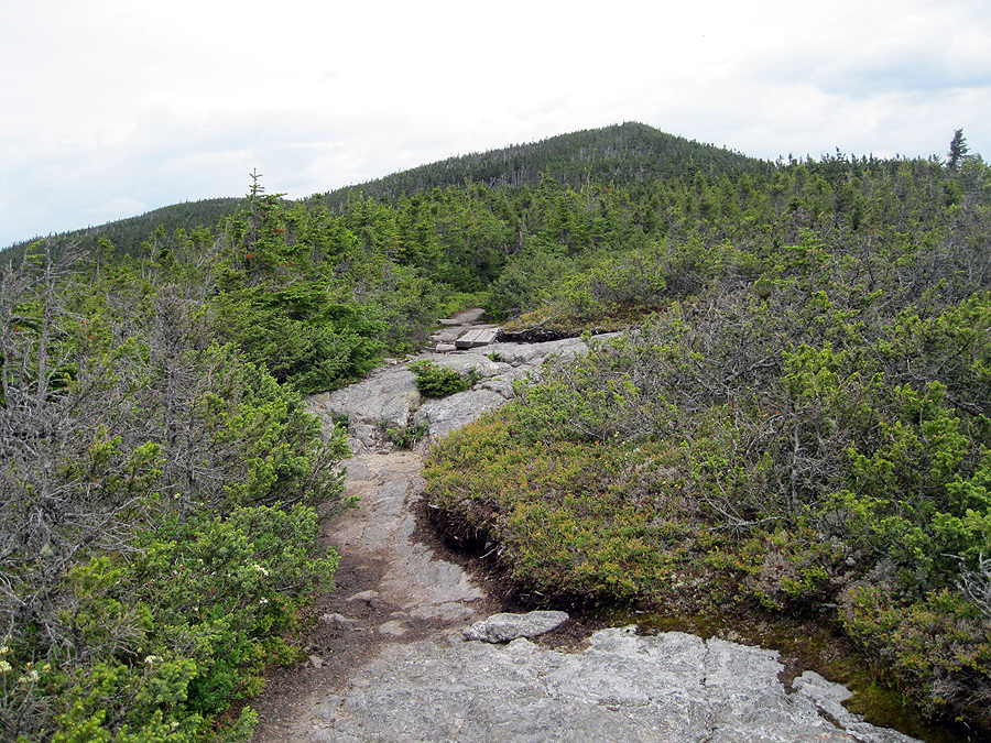
Bog Bridges on the Carter-Moriah Trail

Osgood Ridge with Mount Madison, Adams, Jefferson and Clay (R to L)

Mount Washington

Mount Washington, Clay, and Jefferson

Near Middle Carter's Summit
Carter-Moriah Trail, looking back at Middle Carter

Zeta Pass

View into Maine from Mount Hight

South and Middle Carter from Mount Hight

Carter Dome from Mount Hight

Storm's a coming!

Wild River Wilderness and the Baldface Range

Clouds turning bad over the Presidential Range

Clouds turning bad over the Presidential Range

Carter Dome Summit

Carter Notch and Wildcat 'A' Peak

Cater Notch Hut

Rain in the valley of the Wild River Wilderness

Cater Notch Pond and Wildcat 'A'

Carter Notch Hut

Carter Notch Pond

Wildcat Ridge Trail

Carter Notch and Carter Dome from Wildcat 'A' Peak

Wildcat Ridge Trail

On the summit Of Wildcat 'D' Peak

Wildcat Ski Area
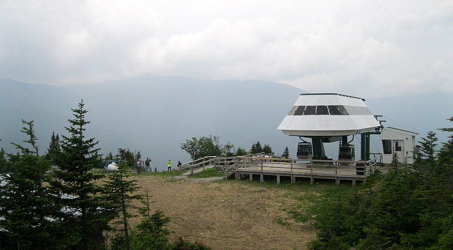
Wildcat Ski Area

Site of the former Wildcat Ski Building

Who's up for a ride?
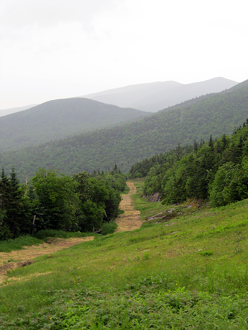
Polecat Ski Trail

Smellycat Ski Trail

Deadcat ski trail

This is where the building ended up

Ski building junk

Route 16
No comments:
Post a Comment