

Caps Ridge Trail Sign

Caps Ridge Trail below treeline

Brenton Woods

Glacial potholes

The three 'Caps' and Mount Jefferson

I guess they couldn't understand the rule of camping is not allowed ON THE TRAIL!

Mount Washington Valley

Mount Monroe, Franklin, and Eisenhower

The second 'Cap'

Approaching the second Cap

The Castellated Ridge

Sun rising above the Presidential Range

Looking towards Mount Clay

The third 'Cap'

The Caps Ridge Trail

Caps Ridge Trail to Mount Jefferson

Caps Ridge / The Cornice Trail Junction

Rim Ice...it's back!

A frosty Mount Washington

Chilly day in the alpine zone

Early morning sun and the frozen boulders below Mount Jefferson

Mount Jefferson Summit Area

Mount Washington

Clouds rushing in above 5,500 feet

Mount Adams in and out of the clouds

Mount Washington

The Jefferson Loop Trail

Monticello Lawn

Monticello Lawn

Gulfside Trail with mount Adams sticking out a little in the right hand corner

Jefferson Loop Trail

Rime ice melted away quickly in some spots (Mount Clay and Washington in the picture)

Sphinx / Clay Col

Mount Jefferson

Mount Monroe

The Jewell Trail

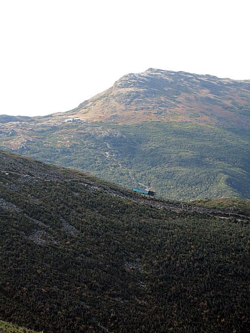
The Cog Train crawling up the tracks

Brenton Woods

Chugging along

Ascending towards Jacob's Ladder

The Cog Train and Mount Monroe

The Train passing over Jacob's Ladder

The Cog Train, Lakes of the Clouds Hut, and Mount Monroe
The Cog train continuing past Jacob's Ladder

Mount Jefferson

The 'Ridge of the Caps' as seen from the Jewell Trail

The Jewell Trail

The Boundary Line Trail

Jefferson Notch Road

Mount Jefferson from the road

This shot up sign always makes me laugh a little

Jefferson Notch
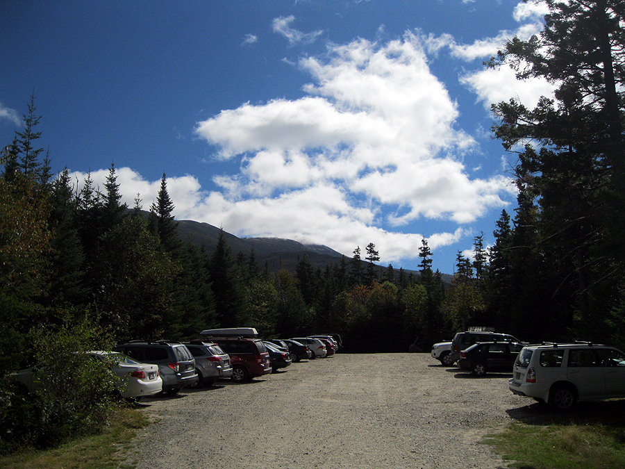
Trailhead at 11:30 a.m.
No comments:
Post a Comment